I dinked around for some time this morning trying to get a decent picture of this Yellow-headed Blackbird!
He just did NOT want to have his picture taken!
This is the best snap I got. I guess if I'd crop it, it would be okay. It does show the bit of white on his wing coverts...
We woke up this morning well rested, and hooking up went easily and well. We were soon heading west again on Interstate 84 along the Columbia Gorge. The Gorge is known for its winds (think wind-surfing) and the windmill farms have taken full advantage of it.
The wind was enough that the Columbia River had white caps. Forry kept having to compensate for the crosswind gusts as he drove --
Unlike many of the river canyons we've seen as we traveled (think Salt River or Colorado River), you don't look down into the canyon at the river. The freeway (and the highway on the Washington side) is actually right alongside the river all the way through the Gorge. The Gorge is actually the passage the mighty Columbia has made through the Cascade Mountain Range.
As we were driving along these bluffs with their new spring grass, I spotted two Big Horn Sheep Rams on one of the rocks. They had huge spiral horns. I was so excited to see them, I scared Forry with my shriek of surprise. A few miles later, we both saw a group of ewes with their lambs grazing on one of the steep hillsides.
The Columbia is a busy transportation route. There are barges on the river, railroads between the freeway and the river, and lots of semis on the road.
This is John Day Dam, one of the many dams on the River that provide cheap electric power to the Northwest --
This one of the overpasses at Hood River that shows the salmon heading upstream --
One thing surprised me. I had thought that there was a pretty strong campaign going on to eradicate Scotch Broom (an "escaped" landscape plant that spreads widely and quickly -- and causes allergic reactions in many people). It doesn't look like it had been very successful!
We arrived at the KOA campground at Cascade Locks about three pm. The park is very shaded and between the trees and the mountains, there is NO satellite TV! With all the large conifers, it is also very dark. We had the lights on in Auntie Violet by four o'clock!
Showing posts with label Colorado River. Show all posts
Friday, May 17, 2013
Friday, November 30, 2012
Our Last Night on the Road for a While
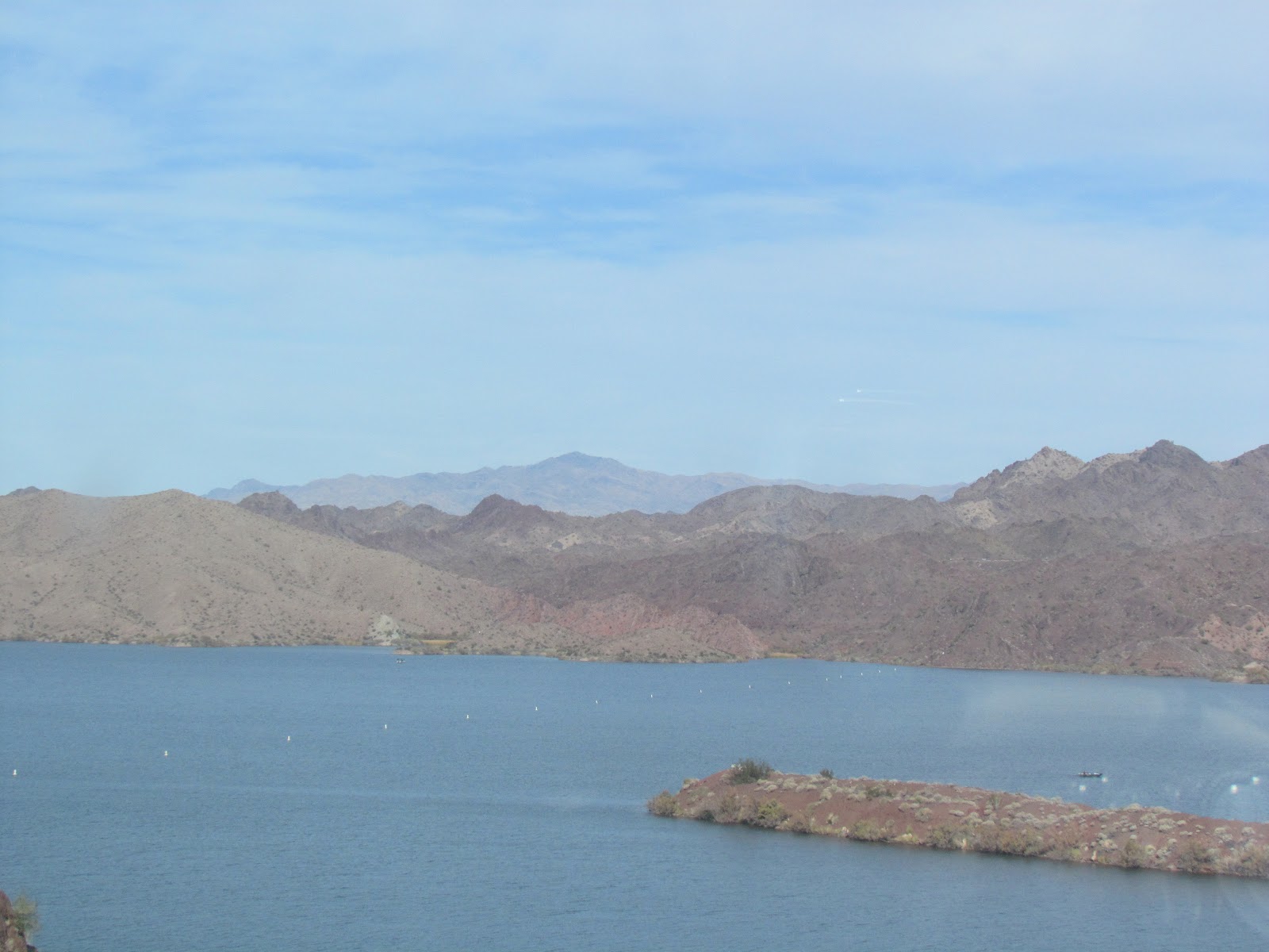
The desert around Lake Havasu was hazy this morning. The mountains looked bluish in the distance -
We spent a bit of time in this area a couple of years ago, checking out the Lake Havasu lighthouses and London Bridge, but this time we just spent the night. It seems the city has sprawled quite a bit more since we were here last.
There is still a great deal of undeveloped property around the lake --
As we traveled along Highway 95 beside the Colorado River, you could see the many little RV Parks on either side of the river --
We took Highway 95 into Quartzite and then turned onto Interstate 5 to Ehlenberg. We will be spending our last night on the road for a while here at the Colorado River Oasis RV Resort. It was a beautiful afternoon when we arrived. The temperature was 83 degrees with a nice breeze. We arrived early enough for me to wash a couple loads of laundry knowing that it would quickly dry.
We spent a bit of time in this area a couple of years ago, checking out the Lake Havasu lighthouses and London Bridge, but this time we just spent the night. It seems the city has sprawled quite a bit more since we were here last.
There is still a great deal of undeveloped property around the lake --
As we traveled along Highway 95 beside the Colorado River, you could see the many little RV Parks on either side of the river --
We took Highway 95 into Quartzite and then turned onto Interstate 5 to Ehlenberg. We will be spending our last night on the road for a while here at the Colorado River Oasis RV Resort. It was a beautiful afternoon when we arrived. The temperature was 83 degrees with a nice breeze. We arrived early enough for me to wash a couple loads of laundry knowing that it would quickly dry.
The RV Park is adjacent to a mobile home park just on the other side of the fence. There are several of these little cabins for rent as well. We had another absolutely beautiful sunset tonight.
Thursday, November 29, 2012
ARIZONA !
We caught a glimpse of Joshua trees as we left Sierra Trails RV Park this morning. While we are quite a way away from Joshua Tree National Monument, there are quite a few of these relatives of the yucca plant in this area --
I drove part of the way today. And wouldn't you know, I got the stretch that is still two lane highway on Highway 58 going into Barstow! (It was four lane when I started...) This stretch of highway goes through the Mojave Desert by Edwards Air Force Base and the Twenty Nine Palms Marine Corps Air Ground Combat Center. Lots of area for airplane test flying and training.
As you approach the eastern border of California on Interstate 40, the ground again begins to rise as you drive between the Piute Mountains.
Until you descend again and get your first glimpse of the mighty Colorado River --
Which divides the State of California from that of Arizona!
We then took Highway 95 east and south to Lake Havasu City and the Lake Havasu RV Park --
People were sitting outside at the RV Park enjoying the high seventy degree weather. These oleanders along the fence were starting to bloom --
The fence at the edge of the park looks out over the sandy desert. I spotted this flock of California Quail watching the sunset --
Aren't they pretty creatures with their little top-knots?
I had to stop and watch the sunset as well. It was gorgeous tonight!
Auntie Violet reflects the sunset glow as well. This is the first back-in site we have had in several days. It was a bit of a pain to have to unhook Toad II, but Forry thought it was probably good to run the engine after towing it for several days...
I drove part of the way today. And wouldn't you know, I got the stretch that is still two lane highway on Highway 58 going into Barstow! (It was four lane when I started...) This stretch of highway goes through the Mojave Desert by Edwards Air Force Base and the Twenty Nine Palms Marine Corps Air Ground Combat Center. Lots of area for airplane test flying and training.
As you approach the eastern border of California on Interstate 40, the ground again begins to rise as you drive between the Piute Mountains.
Until you descend again and get your first glimpse of the mighty Colorado River --
Which divides the State of California from that of Arizona!
We then took Highway 95 east and south to Lake Havasu City and the Lake Havasu RV Park --
People were sitting outside at the RV Park enjoying the high seventy degree weather. These oleanders along the fence were starting to bloom --
The fence at the edge of the park looks out over the sandy desert. I spotted this flock of California Quail watching the sunset --
Aren't they pretty creatures with their little top-knots?
I had to stop and watch the sunset as well. It was gorgeous tonight!
Auntie Violet reflects the sunset glow as well. This is the first back-in site we have had in several days. It was a bit of a pain to have to unhook Toad II, but Forry thought it was probably good to run the engine after towing it for several days...
Subscribe to:
Posts (Atom)